5 topics were addressed during the 2nd edition of the connected courses in winter 2021:
Filter Categories
Tous / All
Urban Agriculture And Commercial Arteries
Open Data And Urban Infrastructures
Public Space And Open Data
Digital Divide And Inclusion
Active Transportation
Filter Categories
Tous / All
Voilà! #3 Project Awards
-
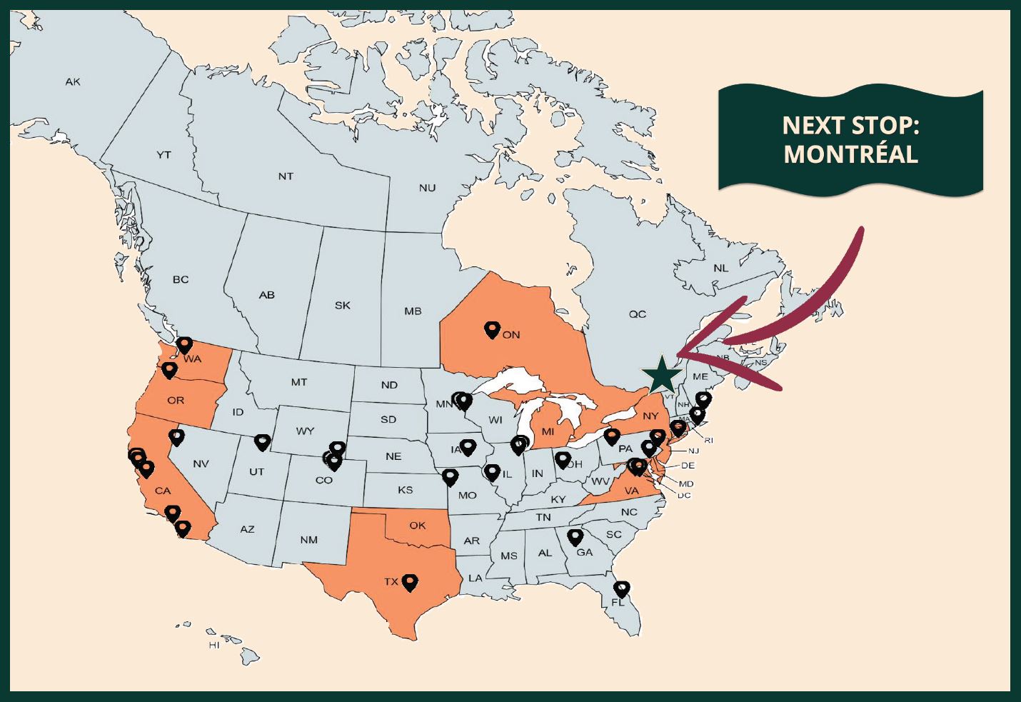
Benchmark Montreal
Impact Potential AwardOpen Data And Urban InfrastructuresThe goal of our project is to analyze building energy consumption data across cities in North America and apply what we learned to buildings in Montreal. We identified several attributes associated with energy consumption and classified buildings as Low, Medium, or High energy use. -
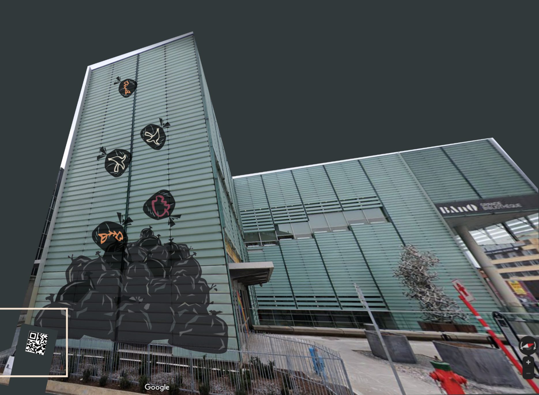
A Mountain Of Waste
Original Concept AwardPublic Space And Open DataA mountain of waste is a projection installation that will address the issue of food waste in Montreal. It is to be installed at Partenariat du Quartier des Spectacles, Place de Arts in Downtown Montreal, a main cultural district of the city. -

St-Henri
Jury's FavoritesDigital Divide And InclusionOur project consists of offering a space at the CRCS Saint-Zotique for the elderly population of Saint-Henri to have access to computers, wifi, and have the opportunity to learn how to use the internet. Every Monday afternoon, from 1pm to 3pm, we would have workshops for the elderly population around different topics, such as digital literacy or internet safety, that would last for an hour and a half. -
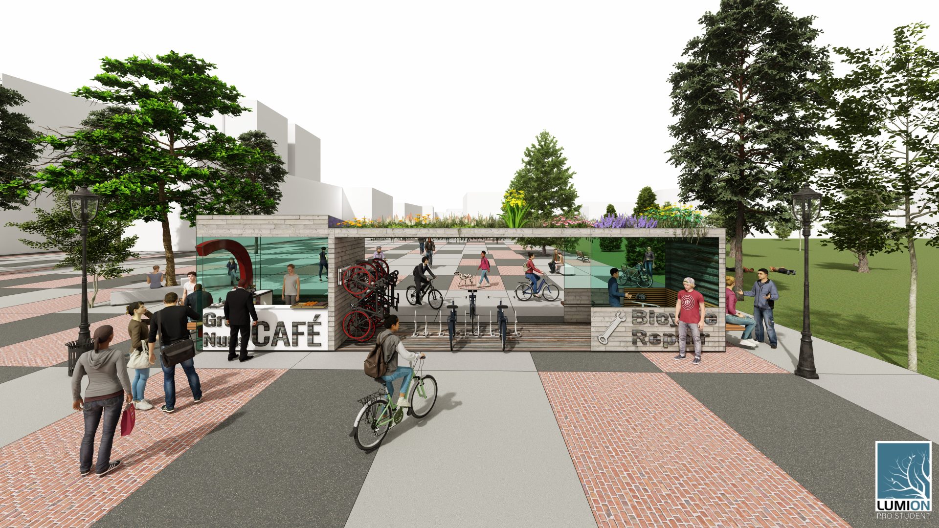
Breaking Down Barriers
Jury's FavoritesActive TransportationThis is an ideation project for our vision of Concordia’s Sir George William Campus with regards to the Grey Nuns Garden and its surrounding areas. By creating a vibrant public space for Concordia students as well as for members of the community, we hope to bring a sense of inclusion, identity and accessibility to our urban campus. -
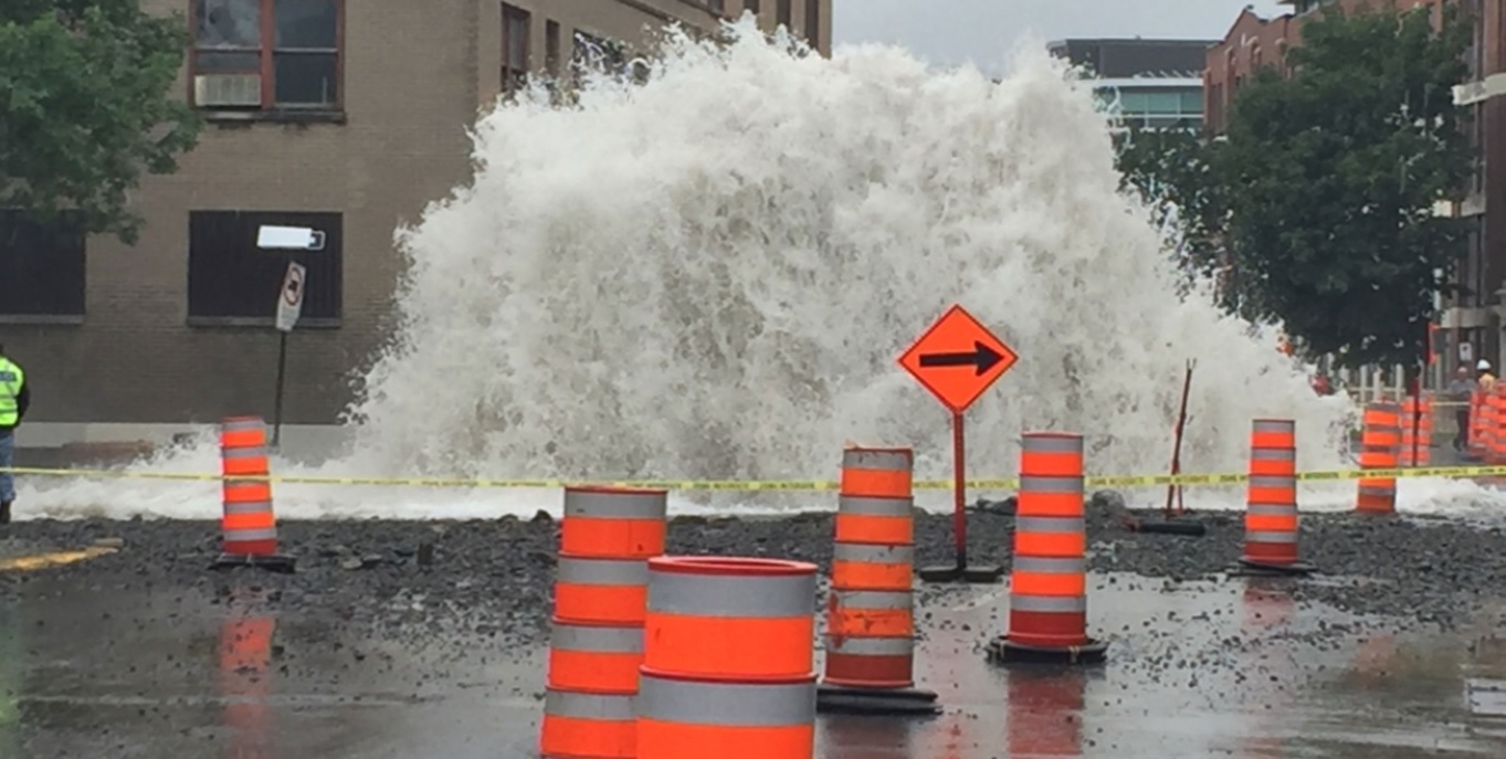
Hit the Breaks
Jury's FavoritesOpen Data And Urban InfrastructuresLes ruptures de conduites d'eau sont un problème à Montréal depuis un certain temps déjà, et les coûts environnementaux, sociaux et économiques de chaque rupture sont très élevés. Ce projet vise à aider à réduire ces coûts en utilisant l'analyse de données pour prédire les bris de conduites d'eau, ce qui peut ensuite être utilisé pour réduire les inspections en personne, prioriser les stratégies d'entretien et, en fin de compte, mener à des économies. -
Open Kitchen
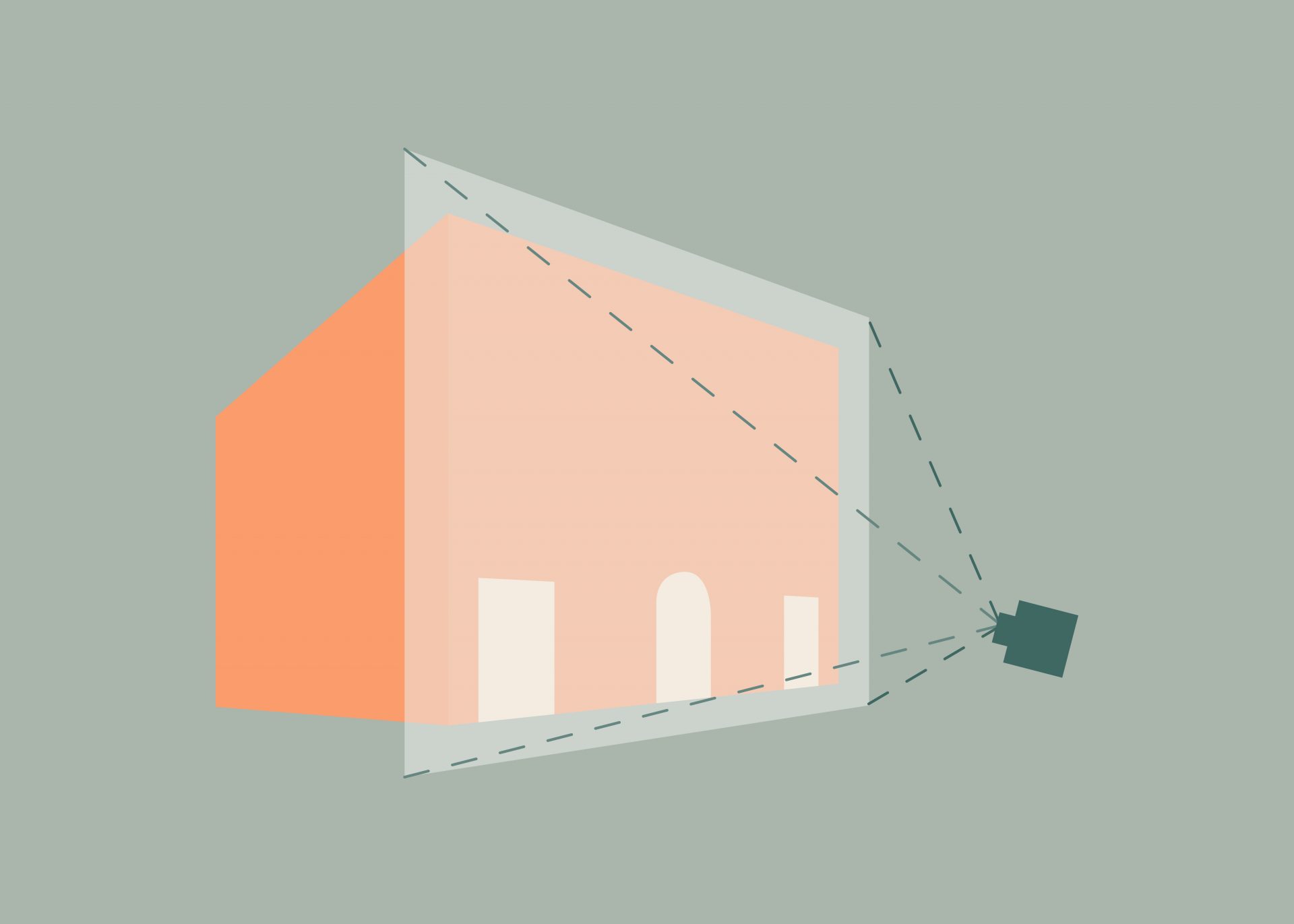
Jury's FavoritesPublic Space And Open DataUsing the data on vacant buildings in the Ville-Marie borough, Open Kitchen will collect data to quantify homelessness in Montreal in a non-intrusive manner. Creating safe spaces using vacant buildings as designated venues will humanize the experience of a soup kitchen, while collecting quantitative data that will be open for the public and the government to use -

Prediction of team composition
Open Data And Urban InfrastructuresThe team composition on construction sites can be important information. We try to use the position data of workers and equipment collected by real-time location system to build classification models to estimate the dynamic team composition during construction activities. -

Care drop
Public Space And Open DataWith public-use machines installed in Montreal, homeless people can claim food from participating restaurants donated by people all around the city. -
Redesigning Public Spaces on Bishop Street
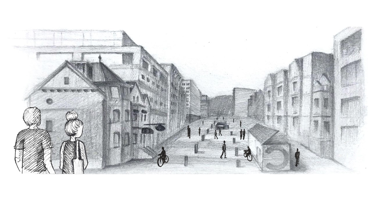
Active TransportationOur project's primary aim is to redesign Bishop street, tailoring it in the needs and habits of pedestrians. We want to emphasize the importance of foot traffic for our downtown streets. -
Solutions to Unify Concordia's Downtown Campus
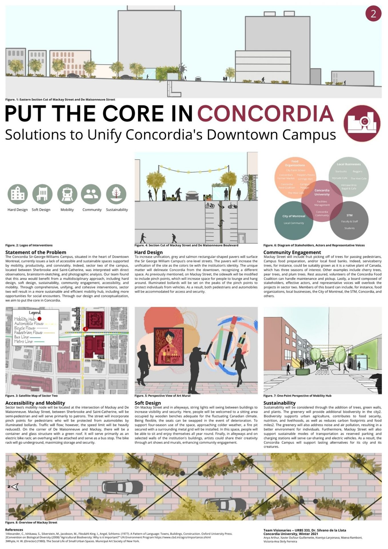
Active TransportationThe Concordia Sir-George-Williams Campus, situated in the heart of DowntownMontreal, currently issues a lack of accessible and sustainable spaces supportedby mobility, productivity, and conviviality. Through comprehensive, unifying, and cohesive interventions, sectortwo will result in a more sustainable and efficient mobility hub, including moreopportunities for social encounters. -
Connecting Concordia's Campus Through Flows of Activity
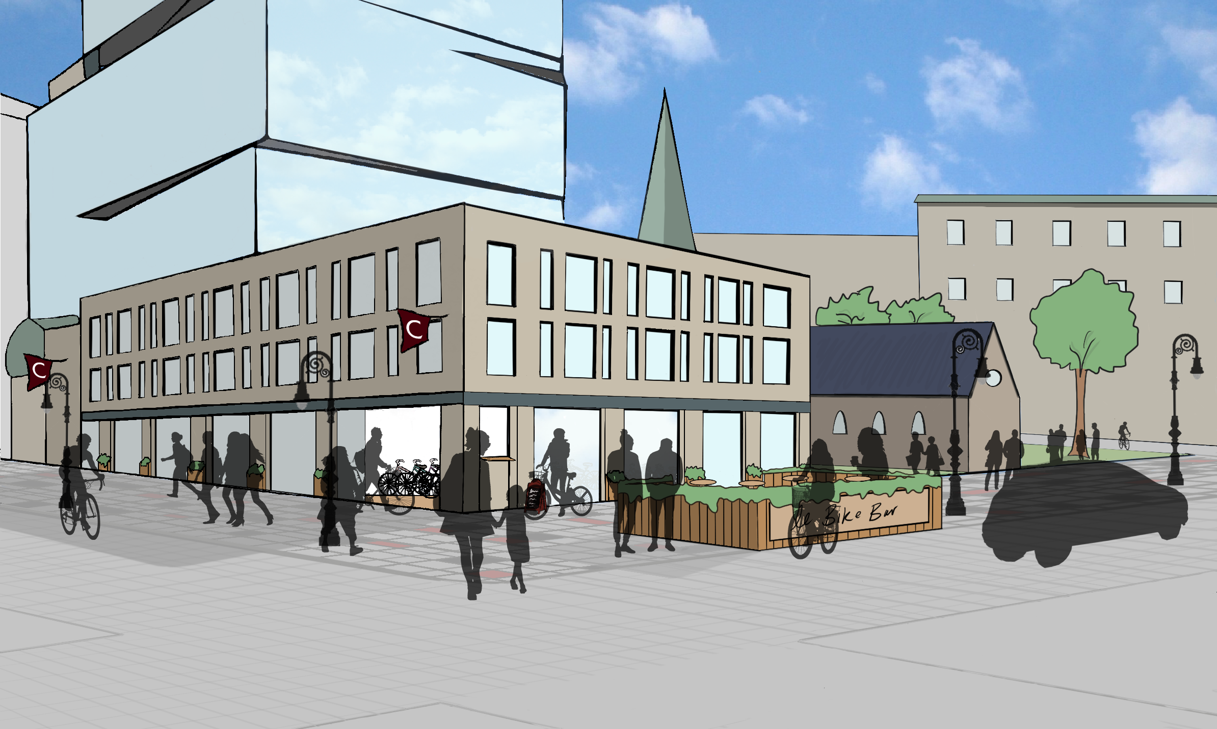
Active TransportationThis project aims to reclaim and connect Concordia’s Sir George Williams campus’ underutilized spaces along St-Catherine Street. Through the synergy created between various mobility nodes and spaces of interaction, we intend to create one holistic space for urban dwellers.. -
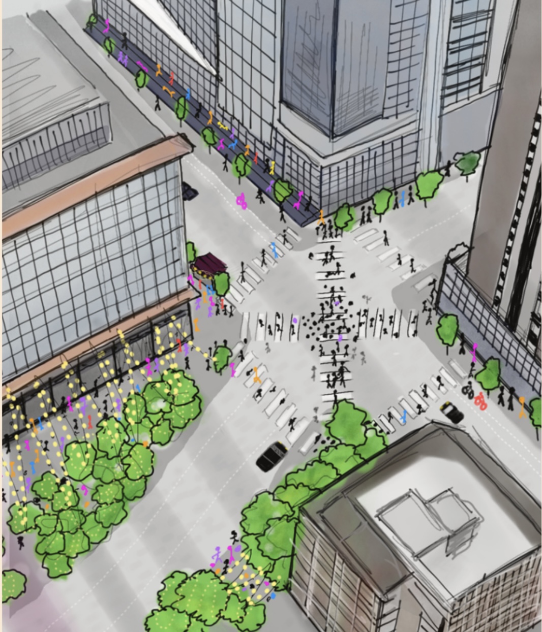
Flow & encounters
Active TransportationWe plan to remove a lane of traffic on Guy, and use that added space to extend and pedestrianize the sidewalk. We aim to increase the possibility for interactions and promote the area’s safe and efficient use through the mobility hub. -
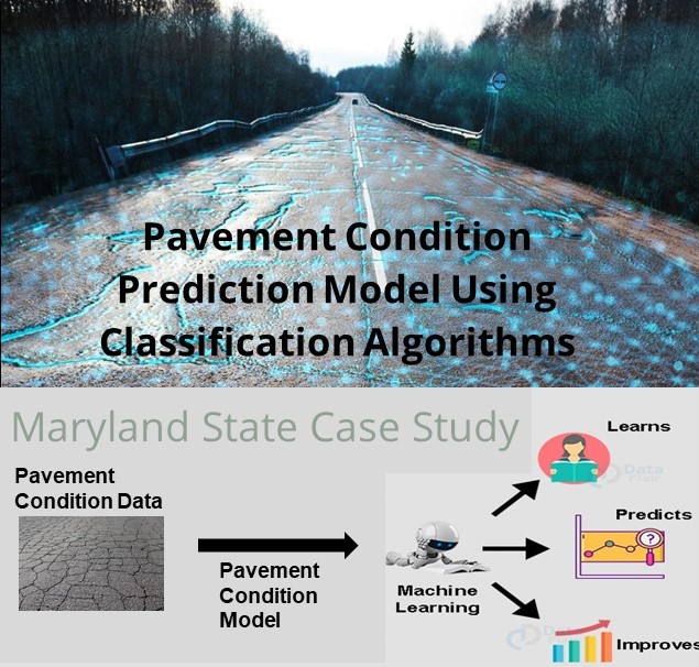
Maryland Pavement Condition Prediction
Open Data And Urban InfrastructuresGovernment agencies are spending millions of $$$ on pavement condition inspections with field equipment. We aim to help reduce the cost and effort of the field inspection by developing Machine Learning Model for the Pavement condition which will predict the condition of the pavement based on the specific attributes such as Traffic, Age without going in the field using historical data. -
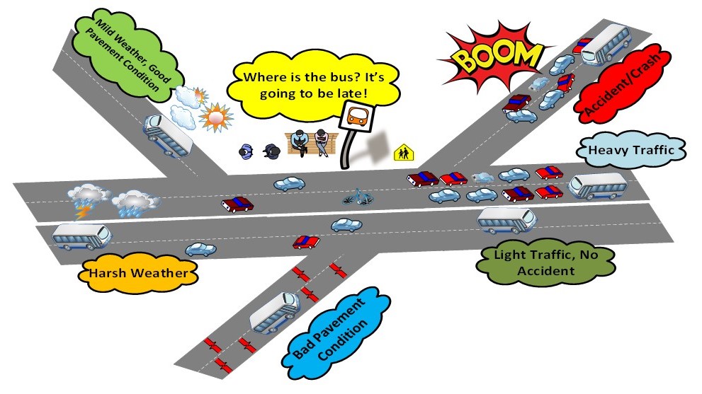
Predicting Bus Travel Time Delays and Earliness
Open Data And Urban Infrastructures“I’m freezing, shouldn't the bus arrived earlier?”. You might have experienced such situation many times. This project aims to predict buses’ delay and earliness for public bus users to keep it reliable and attractive to entice its users. -
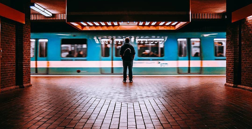
Prediction of metro incidents
Open Data And Urban InfrastructuresWe have developed a supervised learning model to predict the main cause of disruption in the Montreal metro network and the delay time after a breakout. Our predictive model supports public transport authorities and operators to prioritize what type of disruptions at what location to focus on to potentially achieve the most significant reduction in disruption exposure. -
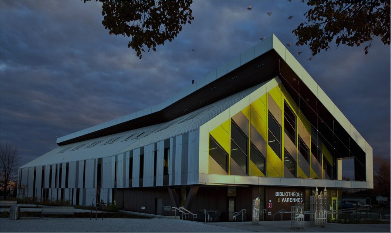
Energy Flexibility Analysis
Open Data And Urban InfrastructuresThis project addresses the issue of high level of energy consumption in the building sector through data analysis and machine learning techniques. The purpose is to help building owners improve the building’s performance and grid operators manage the supply and demand. -

Assessing Building Performance in terms of GHG Emission and Energy Use
Open Data And Urban InfrastructuresClimate change, global warming, and the concentration of greenhouse gases call for urgent action to reduce and control the issue. This would be an incentive to find a way to assess the amount of GHG emission and EUI (energy use intensity) and decrease them by suggesting prediction models. -
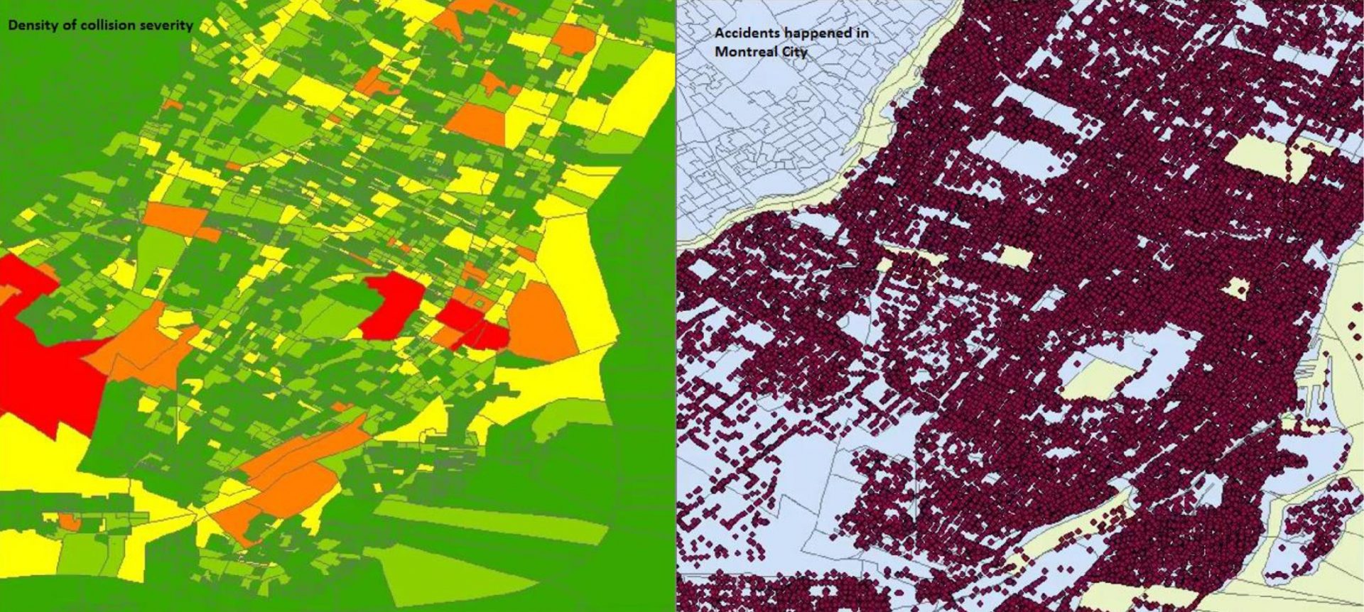
Identifying risky collision areas in Montreal and the contributing factors
Open Data And Urban InfrastructuresIt is essential to investigate on the contributing factors which leads to social suffering. The main purpose of this project is to detect risky areas and its contributing factors in Montreal city. Investigating on risky areas not only saves lives, but it is also beneficial to the society, leaders, and insurance companies. -
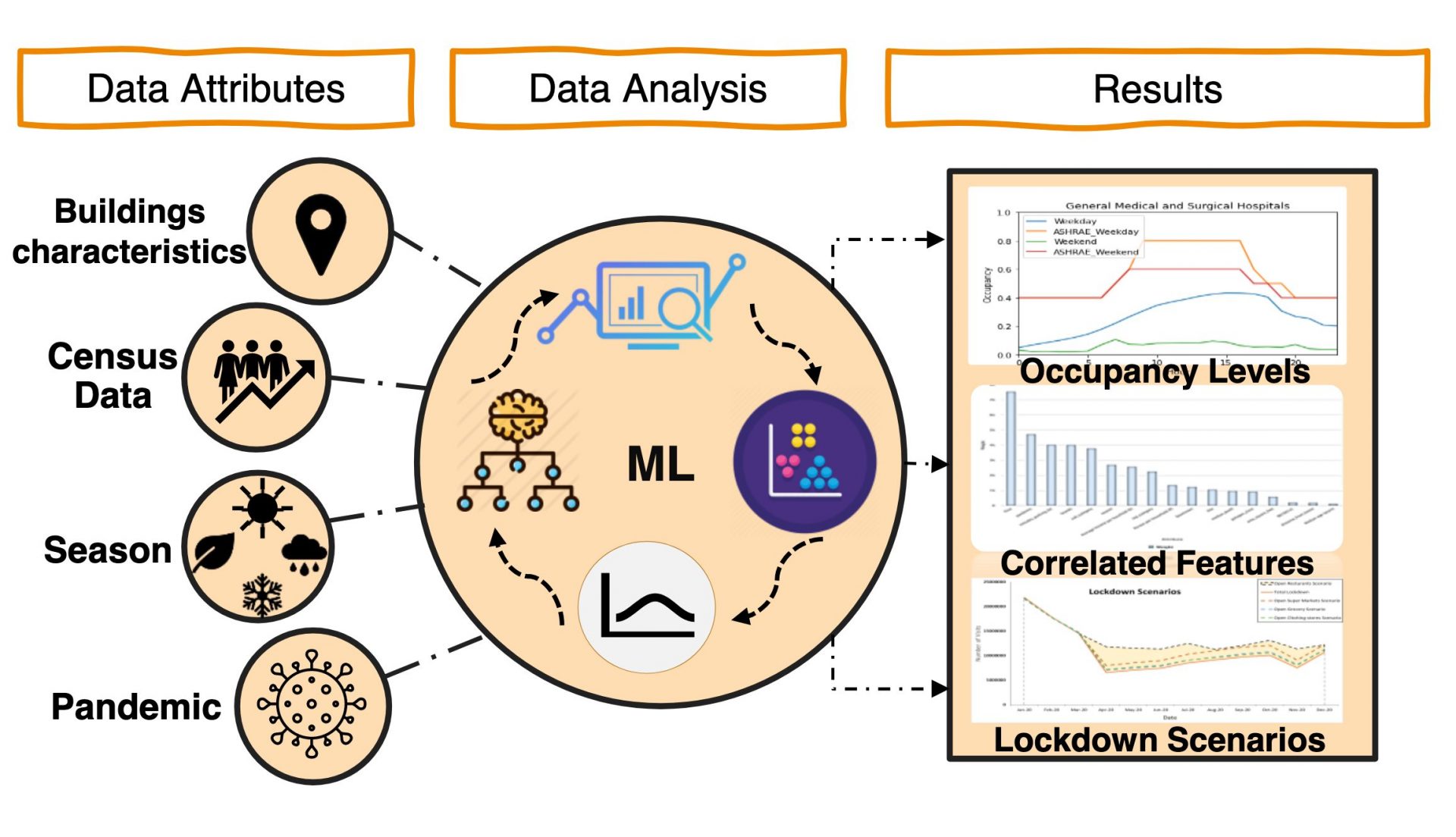
Investigating Buildings Occupancy
Open Data And Urban InfrastructuresDuring the COVID-19 pandemic, several businesses in vulnerable sectors have been impacted by buildings occupancy restrictions. Through implementing a data-driven analysis approach, this project investigates the effect of the pandemic on the occupancy levels of different types of buildings (grocery stores and hospitals). -
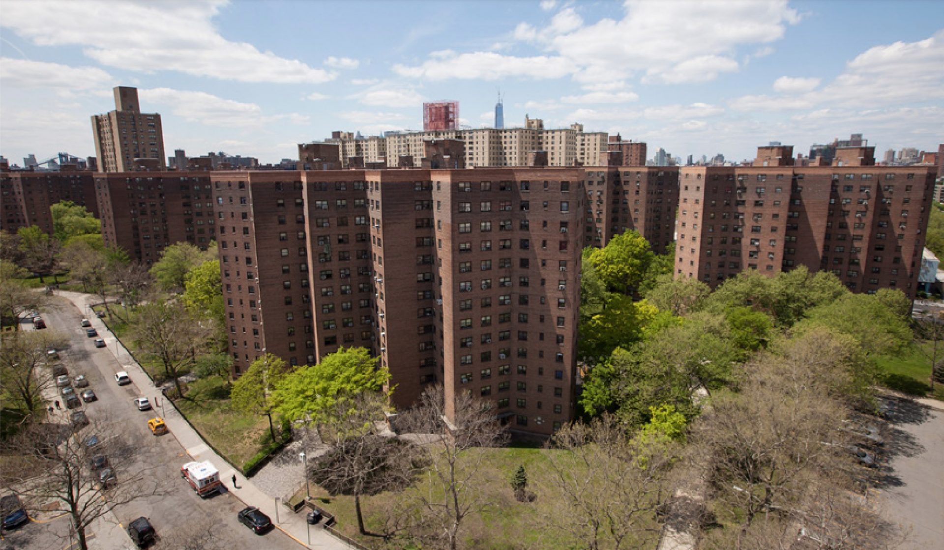
Predicting Water Consumption and Detecting Leakage
Open Data And Urban InfrastructuresOur project aims to predict the water consumption of a municipality as well as to determine potential leaks in the water distribution network. This type of model would be useful for municipalities in terms to repair assets prior to major breakages, and ensure that the water system is equipped to handle forecasted consumption demand. -
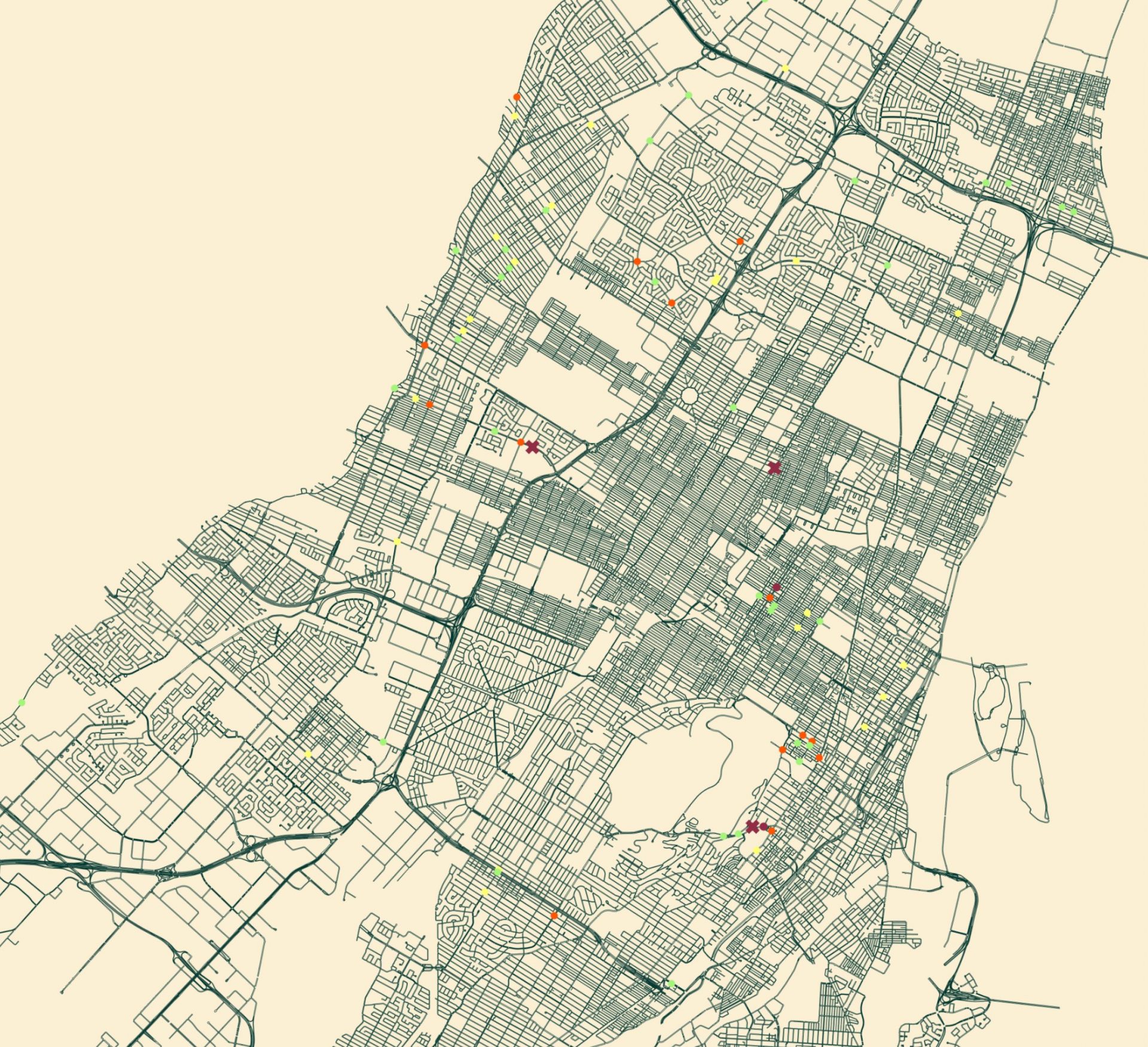
Pedestrian and Cyclists Safety
Open Data And Urban InfrastructuresDuring the Covid-19 pandemic, the change in urban traffic behavior is an undeniable fact. To find whether there are any abrupt changes in the safety of non-motorized transportation, Montreal pedestrian and cyclist collisions at intersections through the last 3 years before the pandemic is studied. -
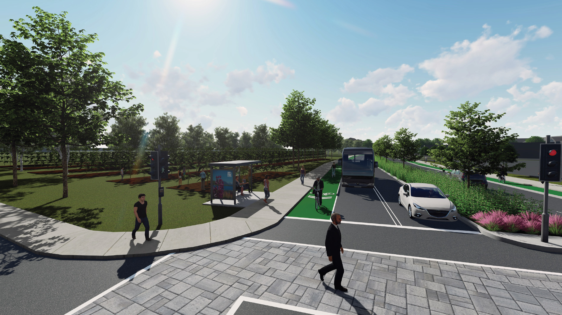
Flows of sustainability
Urban Agriculture And Commercial ArteriesOur project consists of connecting green spaces while taking into account the economic and social aspects of the area. We aim to do so between the train tracks near Rue Henri-Bourassa, Cégep Marie-Victorin and Boulevard Maurice-Duplessis by adding green roofs and native plants along that area. -
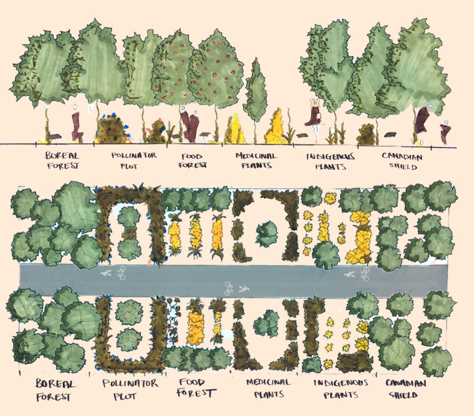
The Garden Route
Urban Agriculture And Commercial ArteriesIn an effort to further the borough of RDP’s plan for the conversion of 30 hectares of land into urban agriculture, this project creates dynamic and engaging green spaces which serve as both educational and social hubs that serve to address issues pertaining to the disconnect between people and their foodsource. -
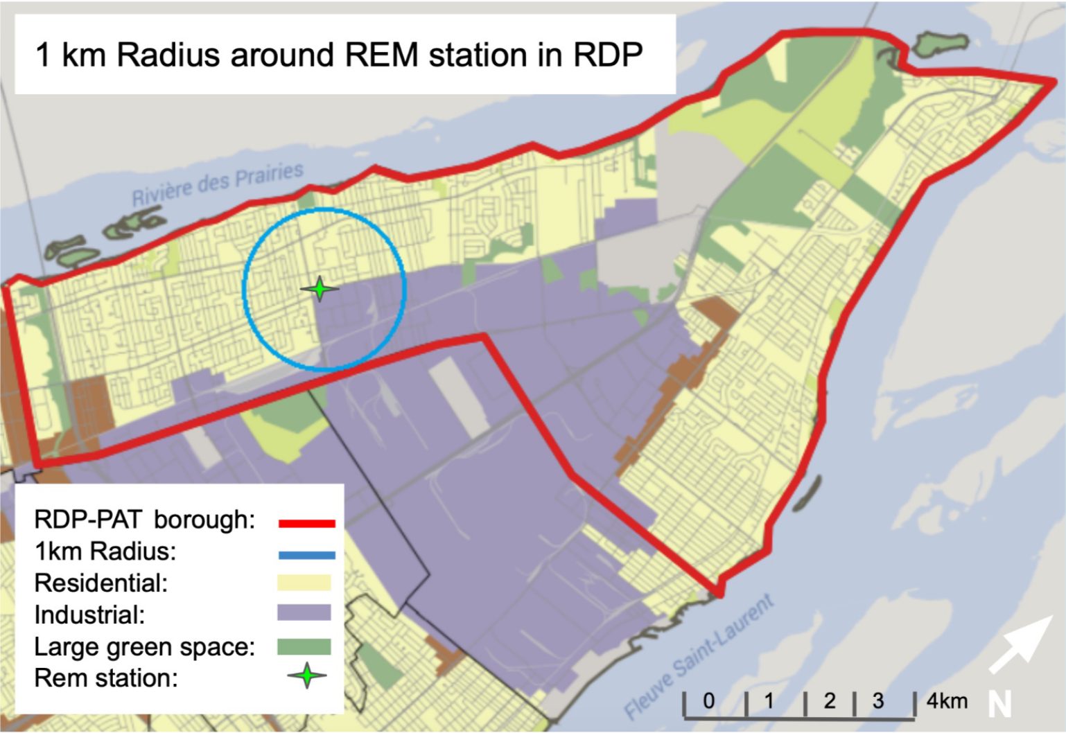
Connecting Rivière-Des-Prairies
Urban Agriculture And Commercial ArteriesOur main goal is to connect the residents of Rivière-des-Prairies to the downtown core of Montreal. Some secondary goals that we also hope to achieve with this project is to make more effective connections within the borough, densify the area with mixed-use mid-rise development. -
Verdun 1
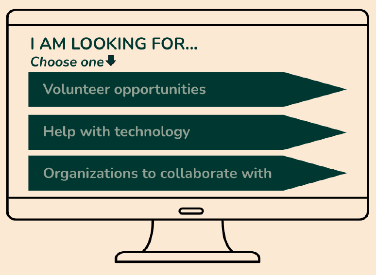
Digital Divide And Inclusion“The Hub” is an online platform meant to close the digital divide in older adults by providing a space for older adults, organizations and volunteers to share knowledge and experience. -

Parc Extension
Digital Divide And InclusionThe project proposes a framework for the language and the digital divide amongst the South Asian community. The program’s objective is to target newly immigrated South Asian men and women who are willing to learn the French language and also learn the use of technology that will help them in day-to-day work activities, in an interactive manner.. -
Sud Ouest 2
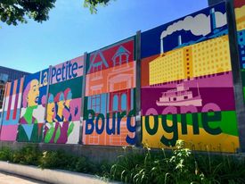
Digital Divide And InclusionOur project entitled The Sustainable Wi-Fi Development focuses on implementing a way to provide free accessible Wi-Fi to immigrant families in Little Burgundy. Its attempt is to reduce the digital divide and allow for access to school, work, etc. through the supply of SIM cards. Our solution involves contracting with telecommunications companies and community centres to resolve this issue. -

Verdun 2
Digital Divide And InclusionHaving a society heavily reliant on technology, such as our social and medical systems, making the reduction of a digital divide is highly important. COVID-19 has accelerated and widened the divide mainly for older adults. We have created a project that aims to provide easily programmed IPads to be used by the elderly community. -

St-Michel 1
Digital Divide And InclusionThe concerns of the immigrant community of St-Michel are many. In order to meet their needs in a sustainable manner, we have developed a project to revamp a number of accessible green spaces, or “green alleyways'', across the borough to include free Wi-fi, power outlets, computers, and large seating areas to encourage community socialization. -

St-Michel 2
Digital Divide And InclusionOur project would like to propose an initiative dedicated to enhancing resilience in the borough of Saint-Mitchel, so the community is capable to prepare for, respond to, and even recover from social and technological hardships and difficulties. -
Community CO2
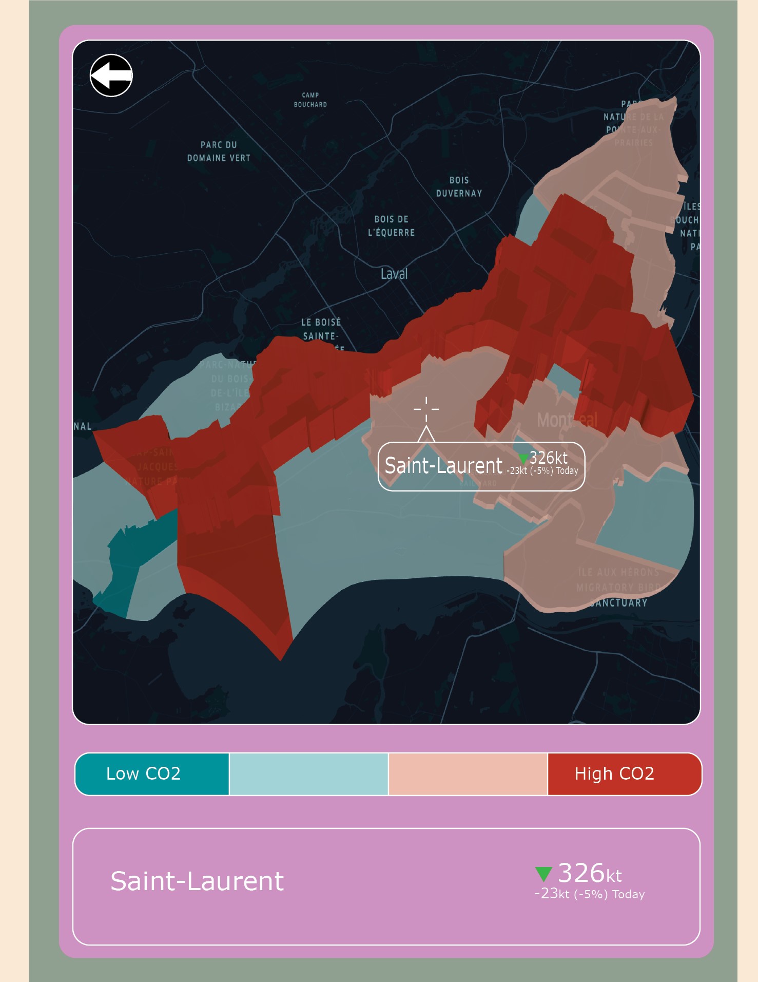
Public Space And Open DataCommunity CO2 is a mobile application with a data visualization system for each borough in Montreal to see their contribution to CO2 emissions produced by vehicles. -
Aider les Sans-Abris
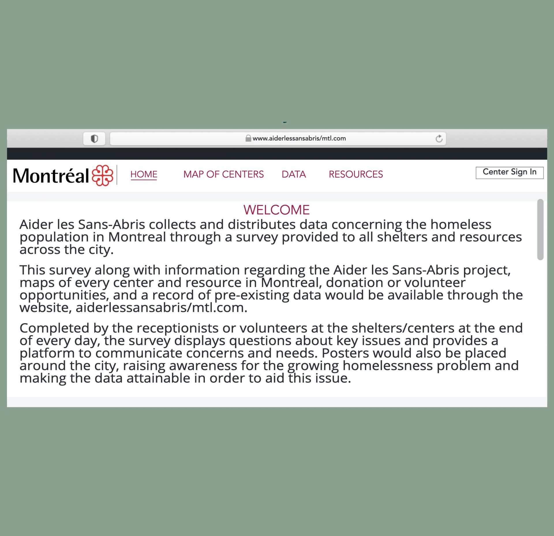
Public Space And Open DataHelp Sans-Abris collects and distributes data concerning the homeless population in Montreal through a survey provided to all shelters and resources across the city. -
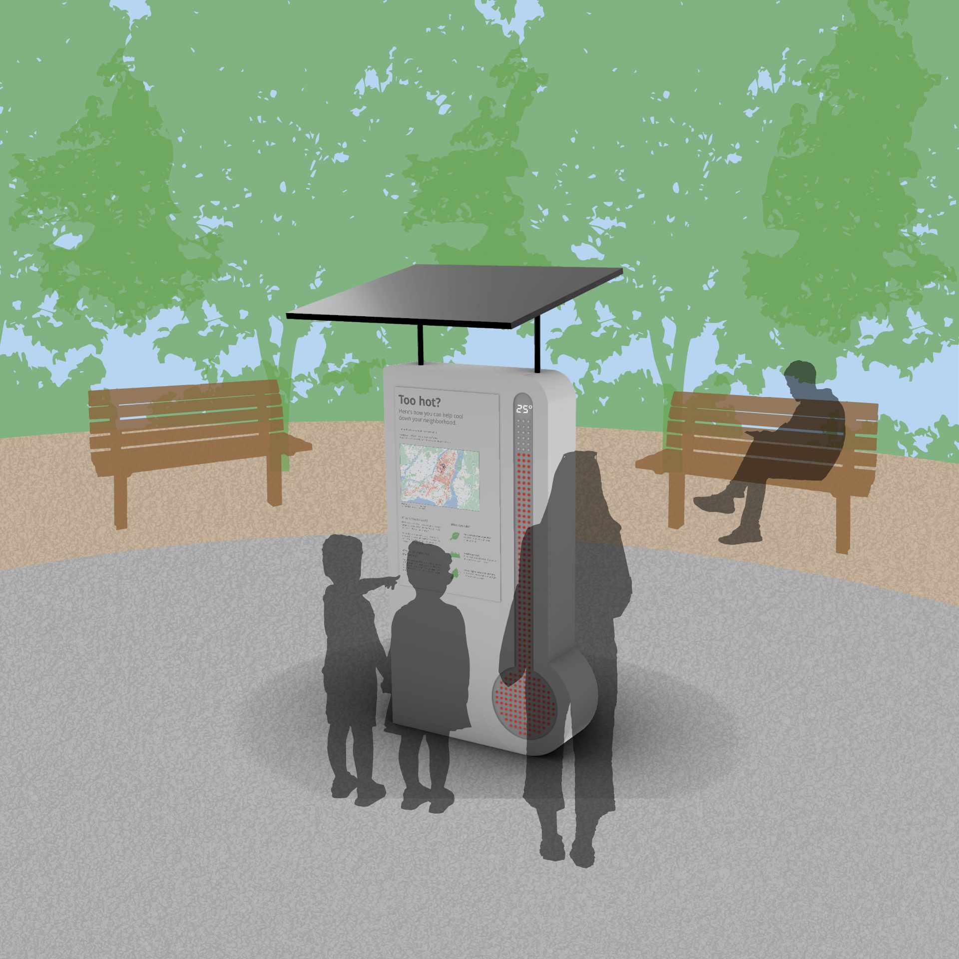
Collective Cooldown
Public Space And Open DataCollective Cooldown is an interactive installation that uses the city of Montreal’s heat map data to bring awareness to residents who may not know they are living in an urban heat island, proposes realistic and accessible community strategies for mitigating this issue, and offers a visualization of the different temperatures of different neighborhoods within the same city. -
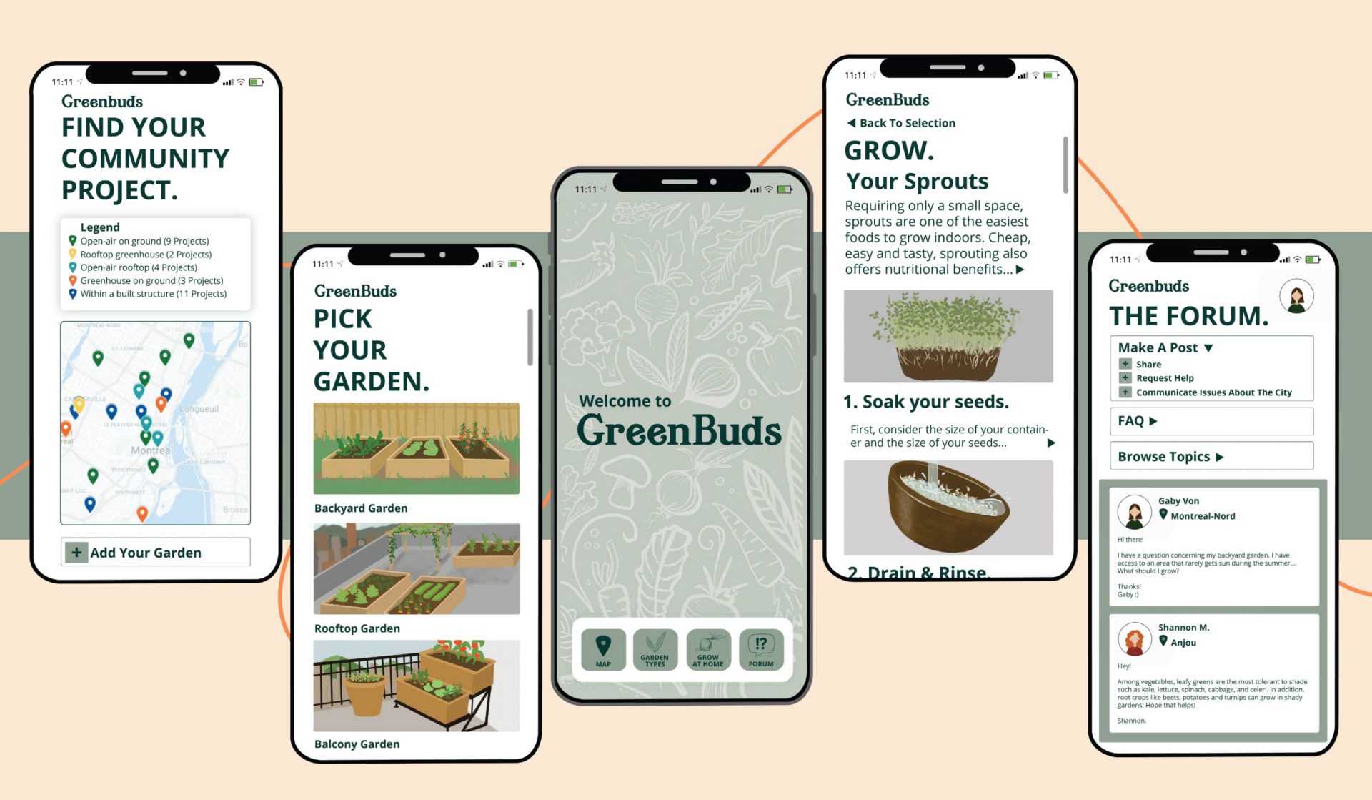
Green Buds
Public Space And Open DataGreenBuds is an application designed with the intent of making urban agriculture within the Montreal area accessible to all. Studying Montreal’s data on agricultural initiatives dispersed around the island demonstrated large disparities between zones with higher and lower household incomes. GreenBuds aims to minimize these disparities through accessibility, knowledge and peer support. -
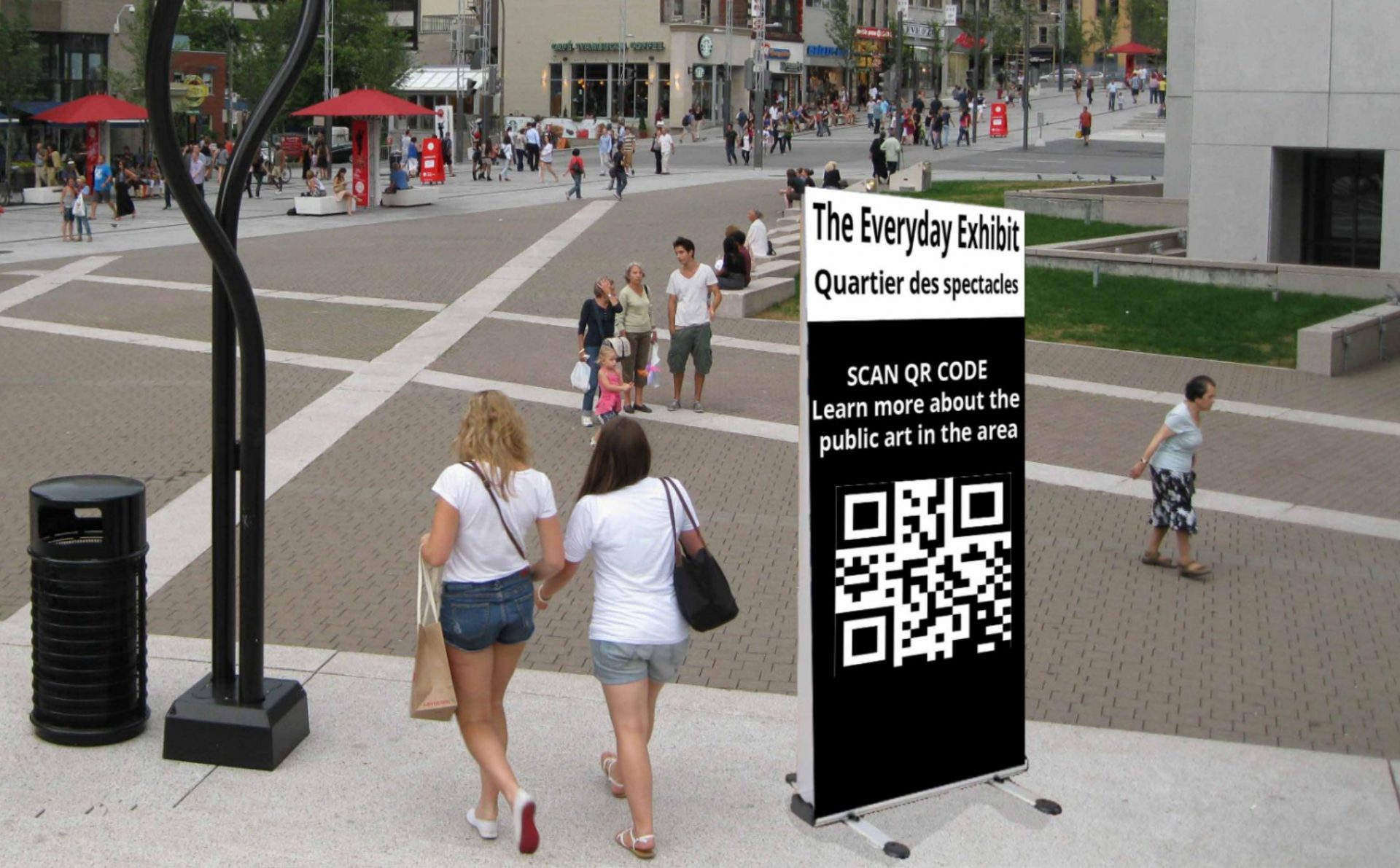
The Everyday Exhibit
Public Space And Open DataThe Everyday Exhibit is an application that locates and notifies users of public art in their area. The goal is to improve upon the cultural and infrastructural aspects of Montreal life. The project focuses on making art readily available to communities, increasing public engagement, and supporting local artists. -
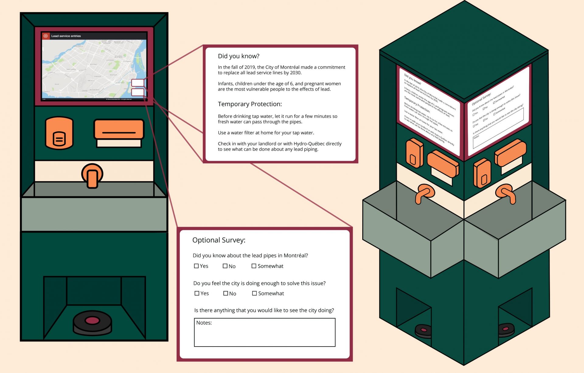
City Sanitation Station
Public Space And Open DataA modular public sanitation station that can be placed alongside busy public areas. Businesses may also purchase one, or multiple, to place within their establishment. Each station features a touchscreen, so while the user is washing their hands, they can view an interactive map of Montreal’s lead affected areas. -
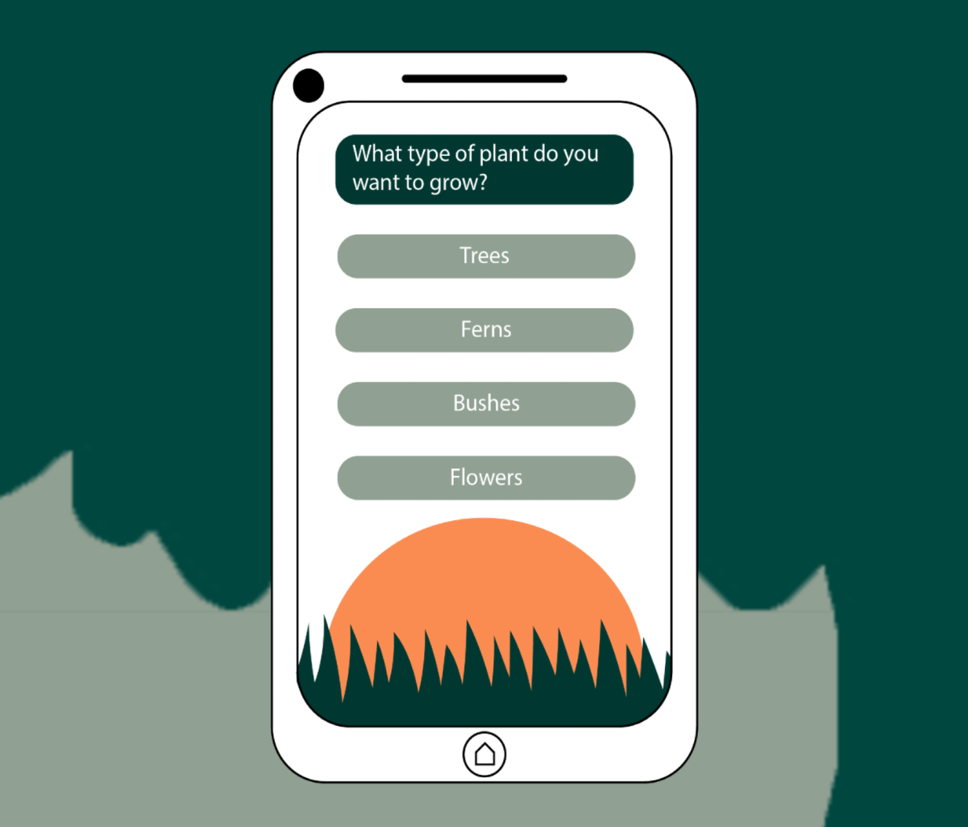
Grow Montréal
Public Space And Open DataWhen researching as a group and recalling experiences in the city, we believed Montreal was in need of more natural vegetation in its parks and green spaces. We came up with an idea for a phone application that's goal is to help the people of Montreal find places throughout the city to plant, grow, and care for indigenous plants. -

Bike Path Connect
Public Space And Open DataWe have tackled the issue regarding the current connectivity state of bike paths with the use of five public screen installations and the app “Bike Path Connect” / “Liens Vélo Connectés”. Our goal is to encourage cyclists to submit their suggestions regarding the missing and/or unsafe links in order to improve their cycling experience. -
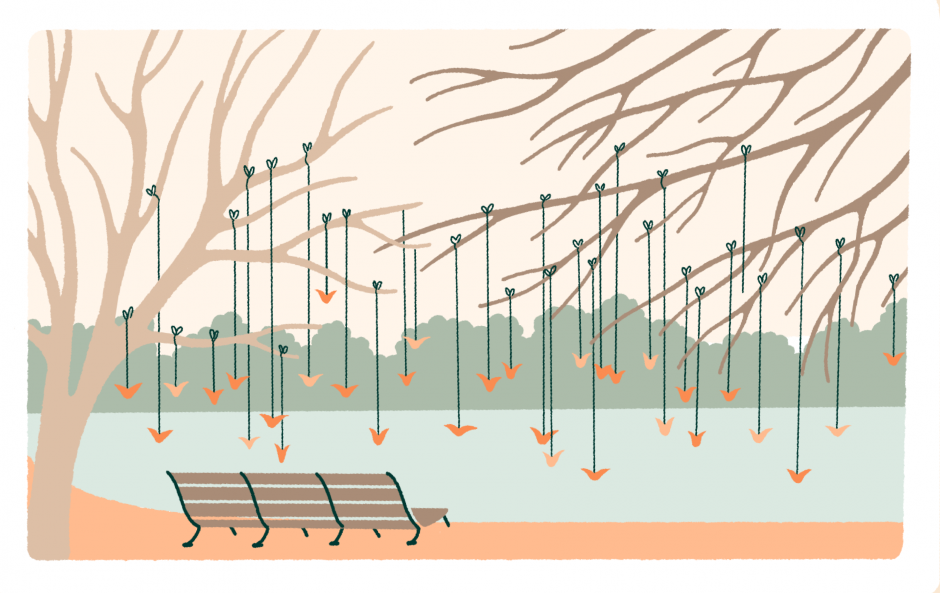
Paper Birds In The Park
Public Space And Open DataWatch Our Birds is a project aimed to raise awareness on protecting bird life in the city of Montreal. The number of birds in our area being reported as disappearing are rising and the causes are primarily due to human malpractices -
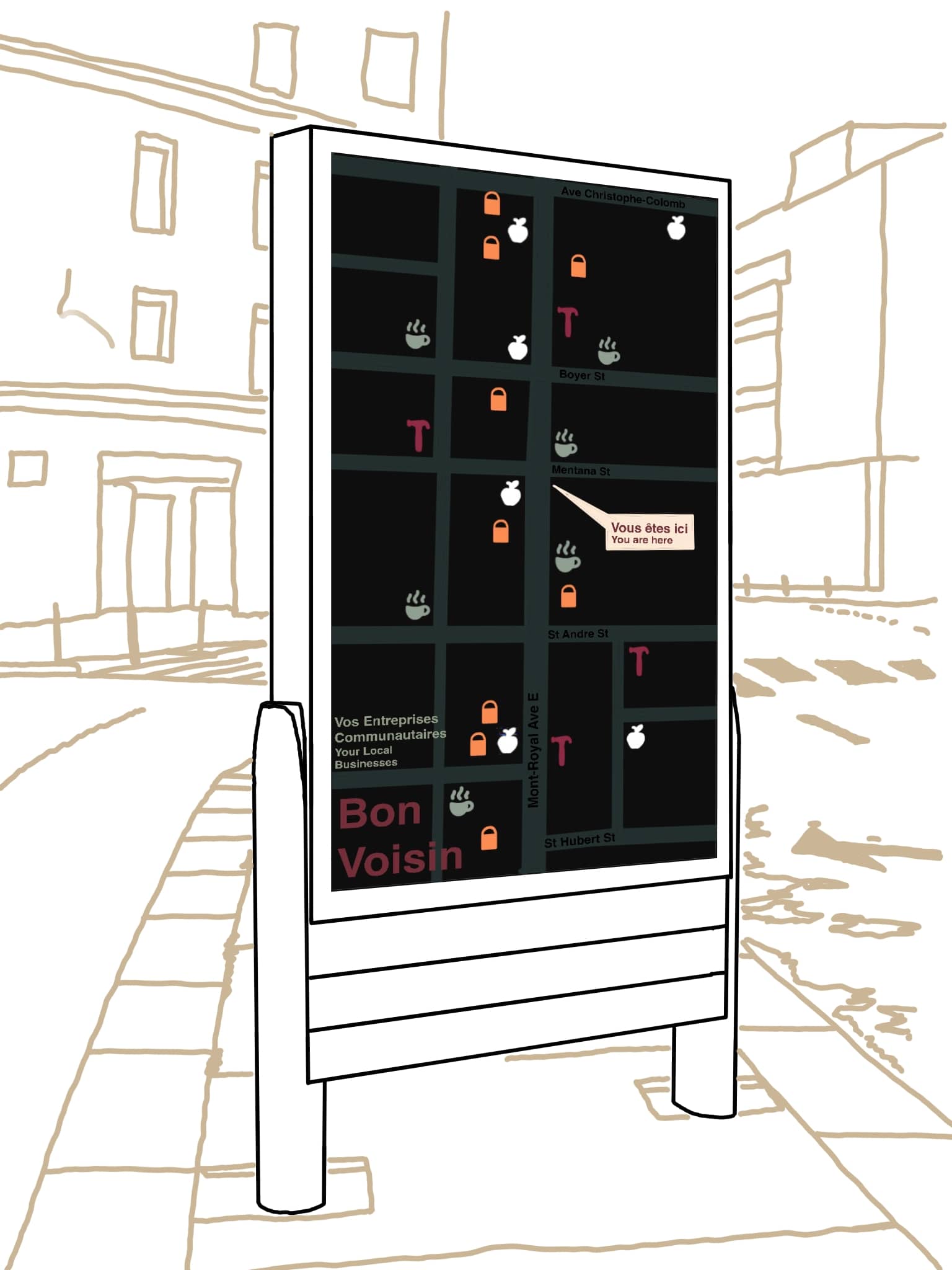
Good neighbour
Public Space And Open DataOur project centers around democratizing information on small businesses in Montreal, especially during the pandemic, to inform Montrealers on the impact they have on local business through their support. This project provides the public with information about small and local businesses with several resources to encourage them to support local. -
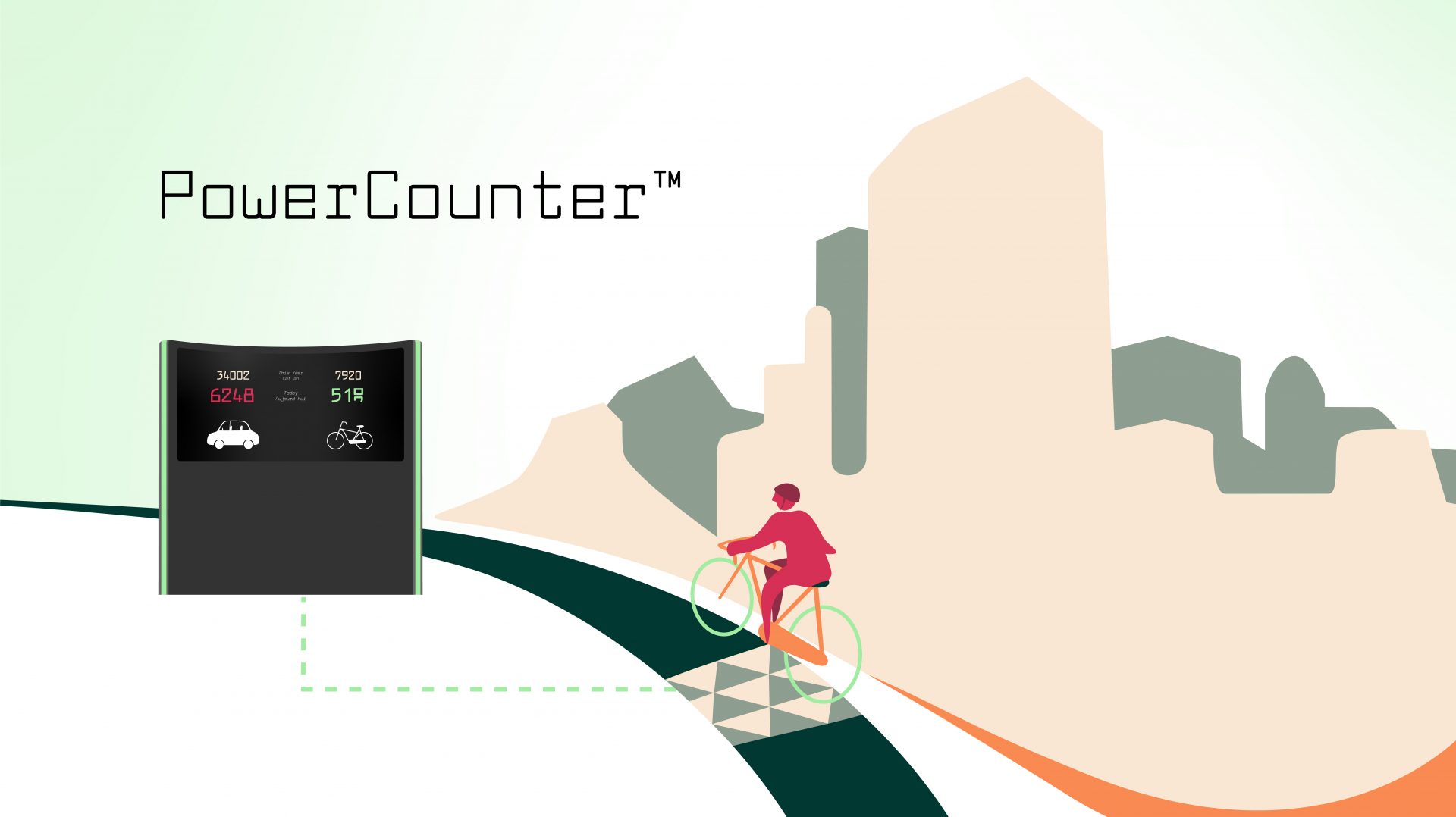
Power Counter
Public Space And Open DataPowerCounter is a pressure-sensitive counter that generates energy while counting different modes of individual transportation in real-time. PowerCounter brings traditional bike counters to the next level as both, bikes and cars are taken into account. -

In my Pretty Alley
Public Space And Open DataIn my Pretty Alley is the creation of an accessible platform where people can access a wide range of information regarding the planning and maintenance of green alleys in residential areas of Montreal. The project is based on the active collaboration of the community to sustainably uphold a resourceful bank of information reporting each project’s experience and acquired knowledge. -
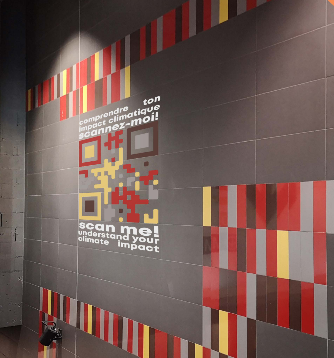
Data En Route
Public Space And Open DataData En Route is a digital survey system for logging transit data. QR codes will be placed all around the city, specifically in metro carts, train platforms, buses, and near bike paths, with short calls-to-action that incite commuters to inquire about their individual carbon footprint as well as the quantified positive environmental impact of their commute that day.

